
What it does
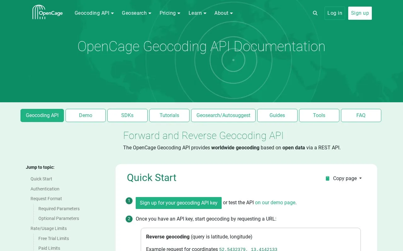
OpenCage Geocoding API converts place names and addresses to coordinates, and coordinates to place information. Its REST interface handles one query per request and returns formats including JSON and GeoJSON. Optional parameters can narrow searches by country or bounding box and influence result language. A key is required; the free trial is for testing rather than ongoing production use.
OpenCage supports forward geocoding from an address or place name and reverse geocoding from coordinates. Results can include coordinates, formatted place names, address components and optional annotations. The API documentation describes controls such as countrycode, bounds, language and limit.
An illustrative first lookup could request Berlin and restrict results to Germany. Example request:
https://api.opencagedata.com/geocode/v1/json?q=Berlin%2C+Germany&key=YOUR_API_KEY&countrycode=de&limit=1
Forward searches may return multiple candidates, so an application should assess returned components and context rather than assume the first match is correct. The API does not offer fuzzy matching or multi-location batch requests; autosuggest is a separate Geosearch product. The pricing page lists testing-only free access and paid subscription and one-time options.
Strengths
- Supports forward and reverse lookups through a documented REST API with JSON, GeoJSON and XML formats.
- Provides query controls for country, bounding box, language and result count.
- Documentation links to client libraries and tutorials for multiple languages and frameworks.
Watch out for
- The API does not provide fuzzy matching; autosuggest is a separate product.
- The API accepts one location per request rather than a batch.
- The free trial is for testing, not ongoing production use.
Best for
- Adding address-to-coordinate or coordinate-to-place lookups to an application.
- Enriching location records with structured address components.
Sources
- OpenCage Geocoding API Documentation (Oct 25, 2026)
- OpenCage Pricing - Geocoding API and Geosearch (Oct 25, 2026)
- OpenCage Geosearch (Oct 25, 2026)